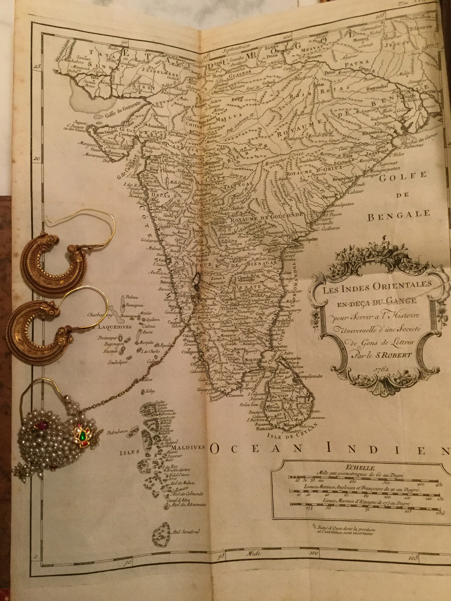
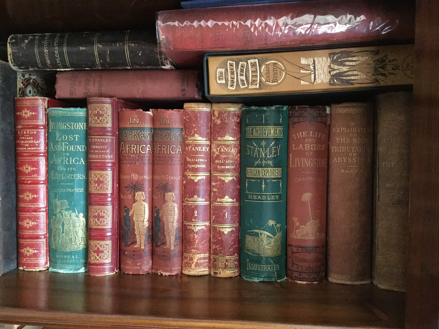
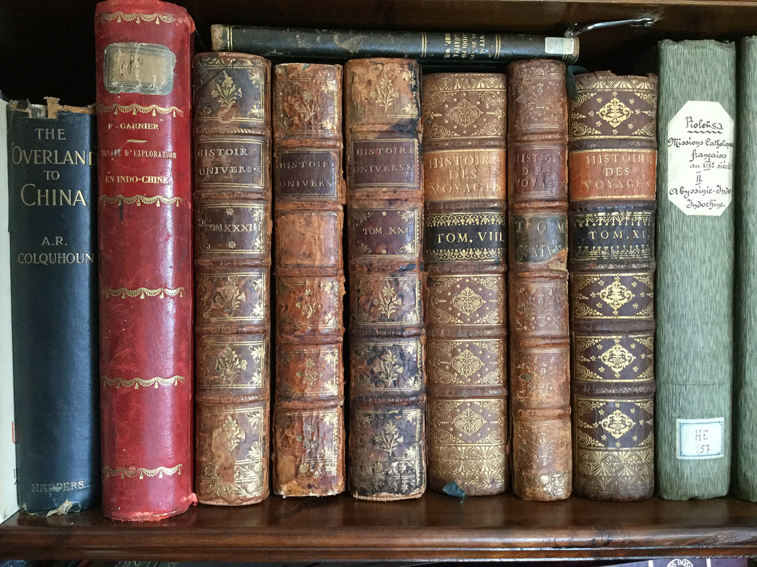
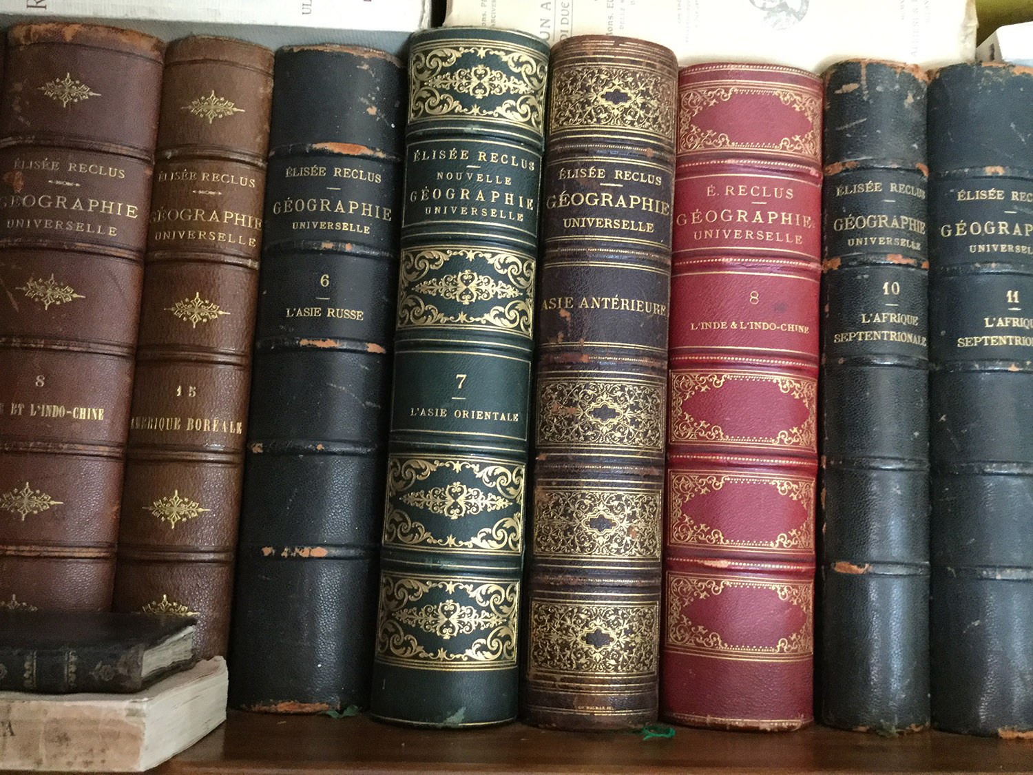
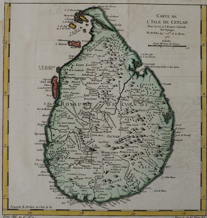
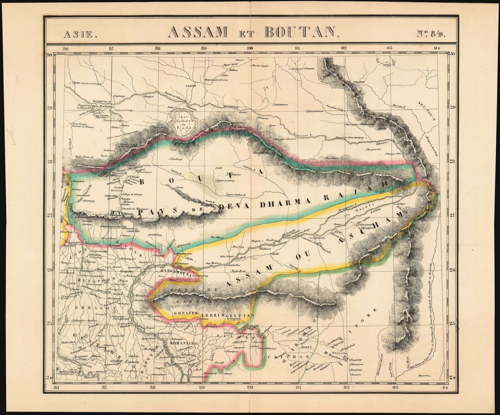
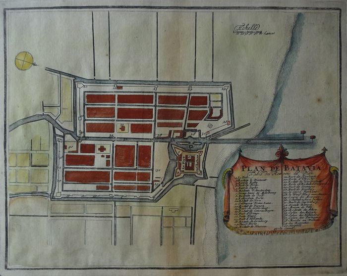
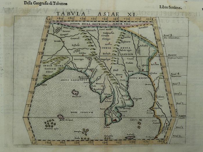
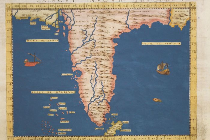
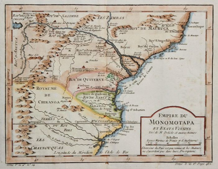
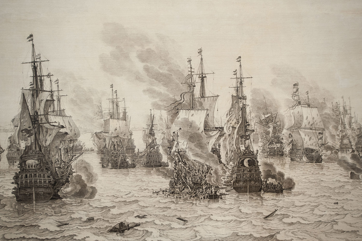
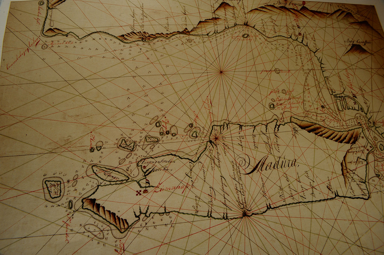
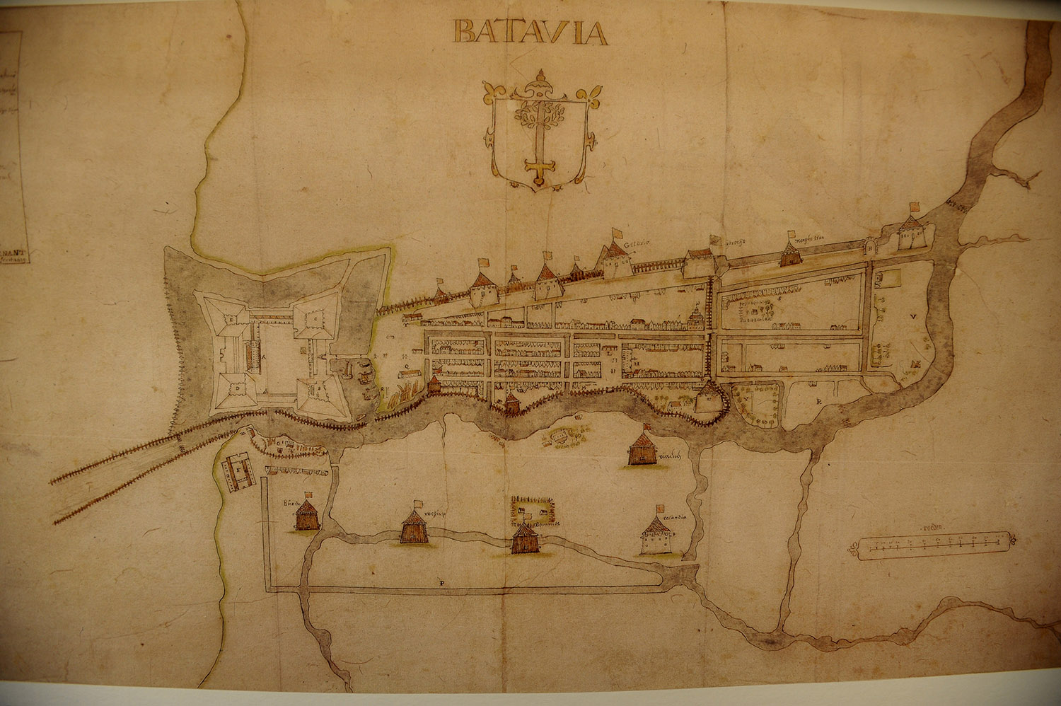
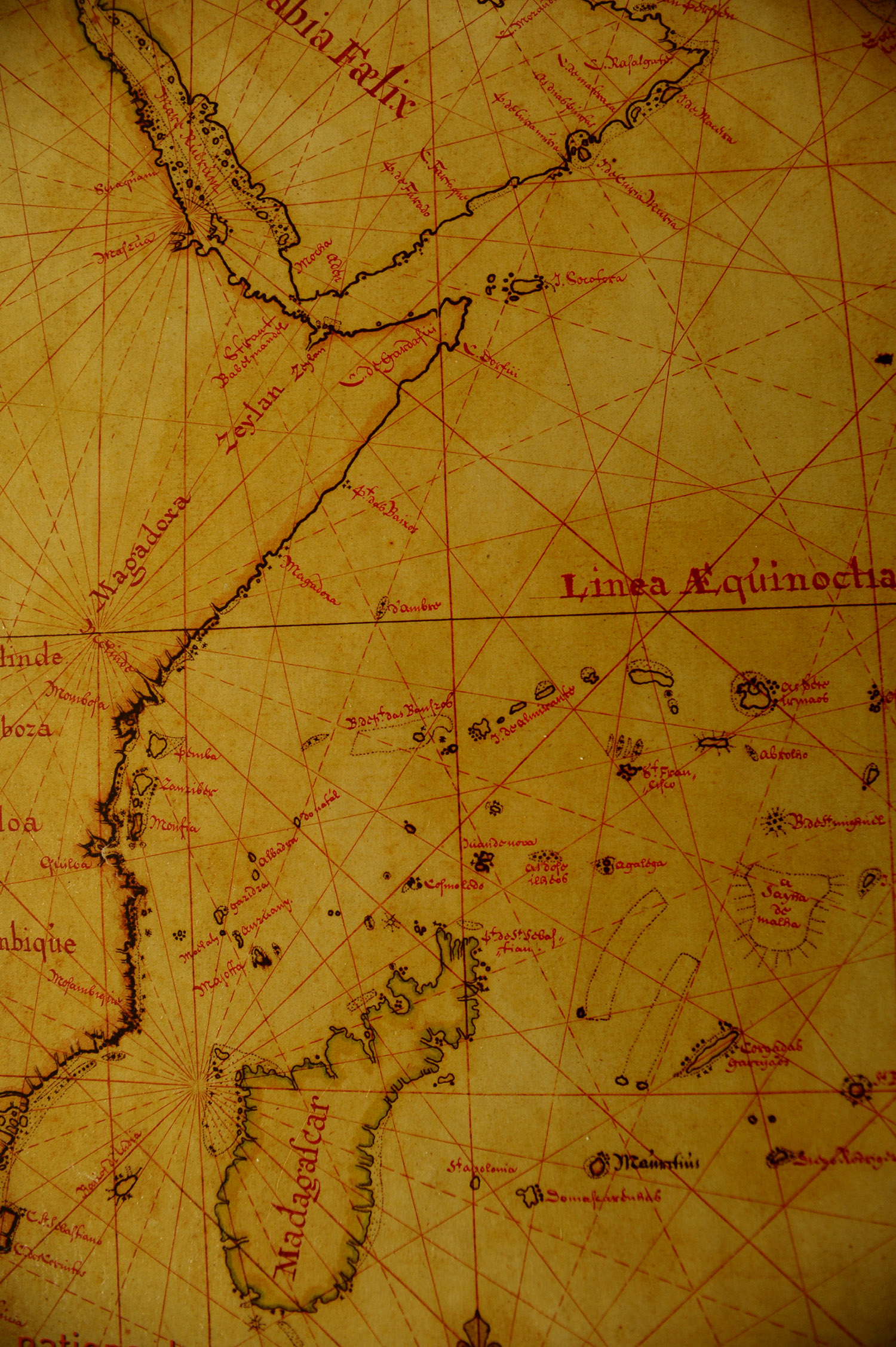
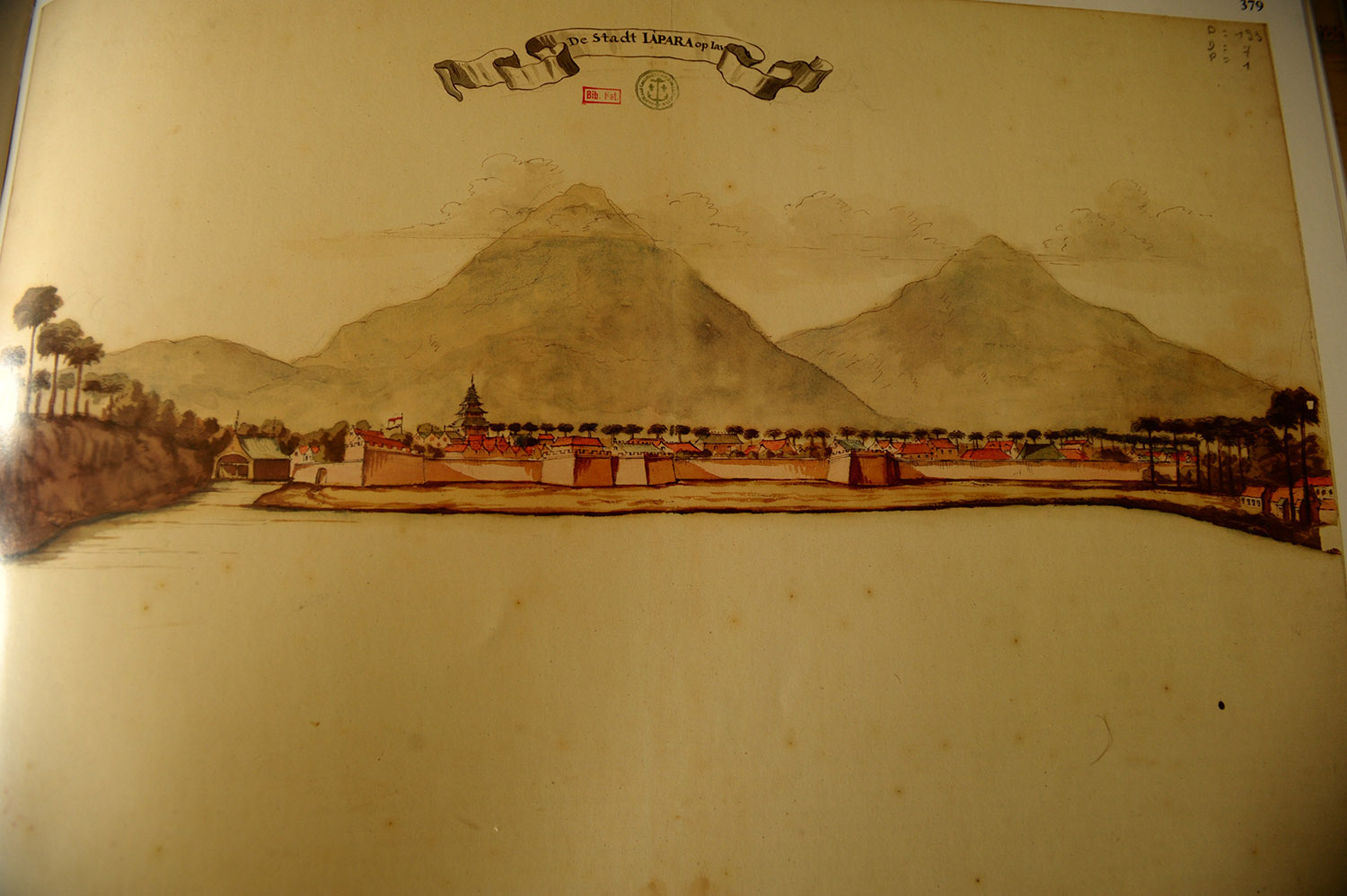
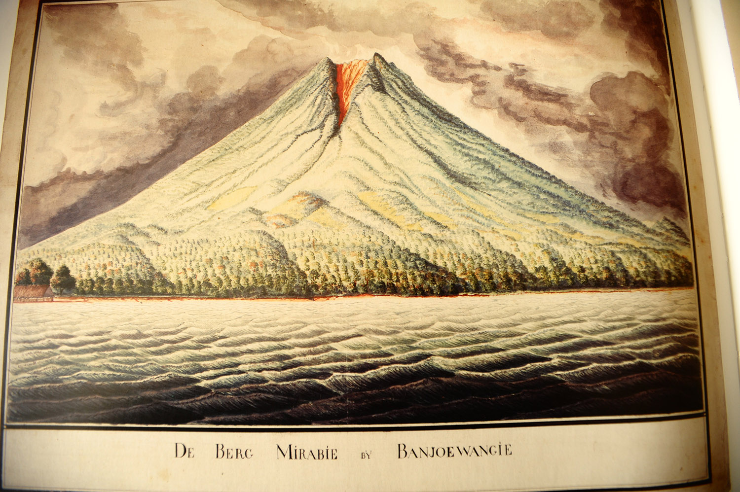
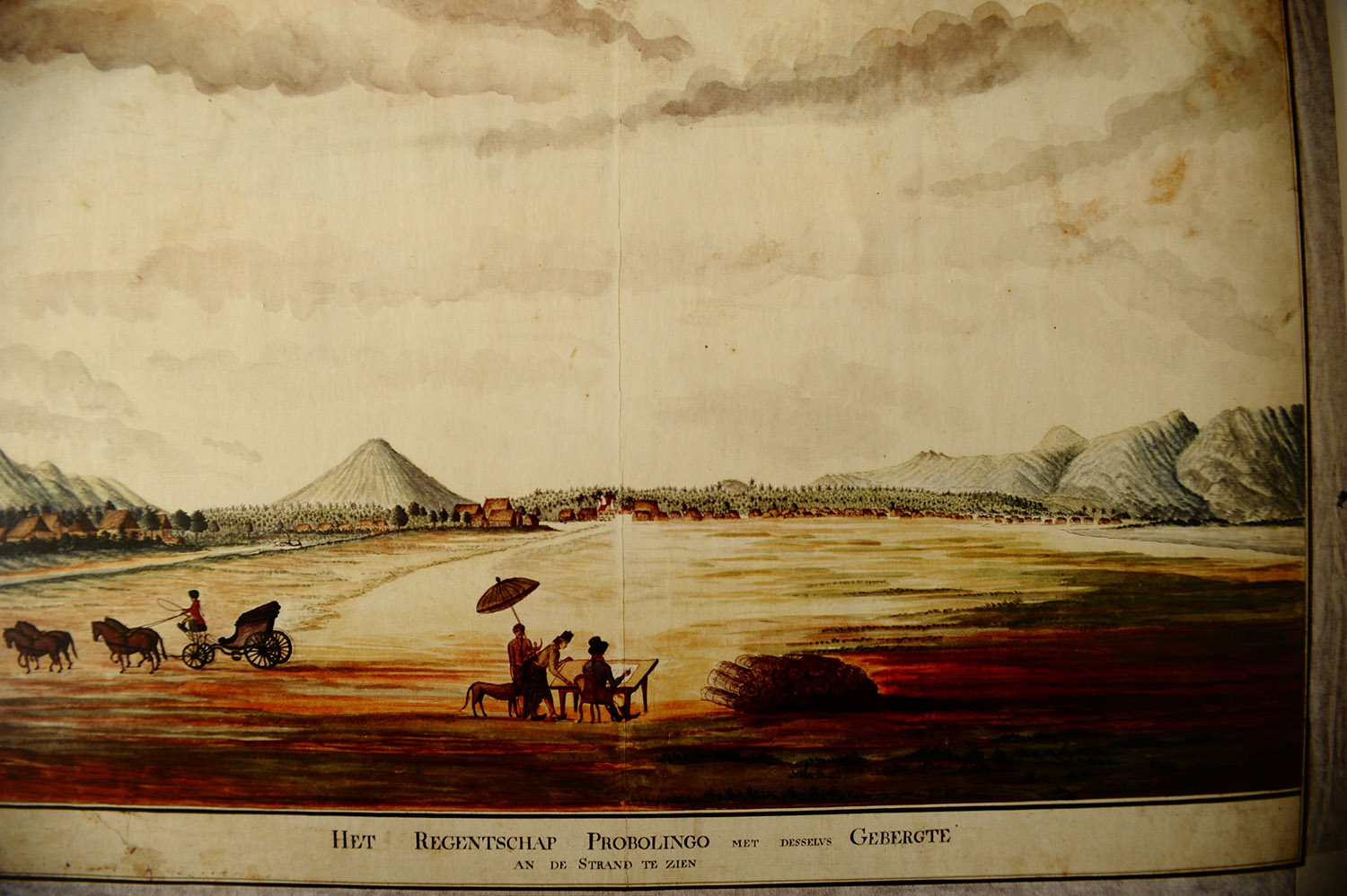
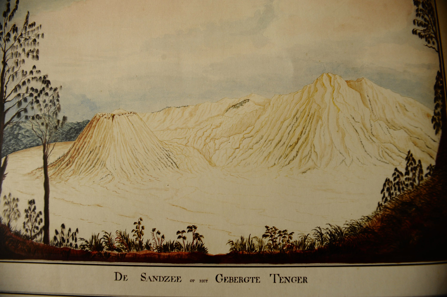
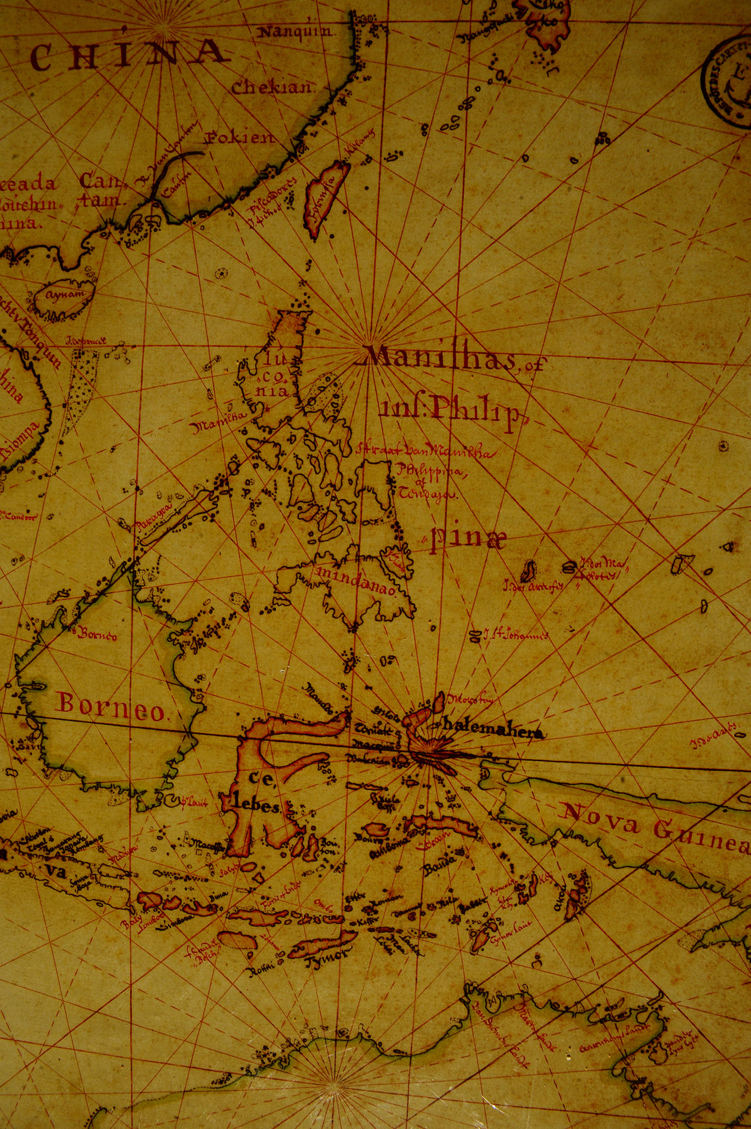
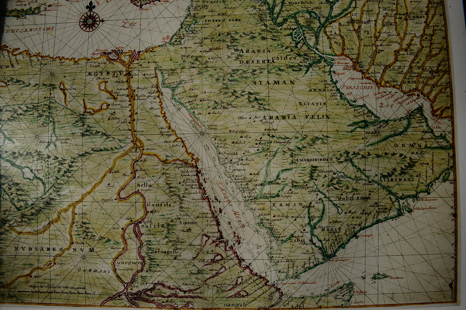
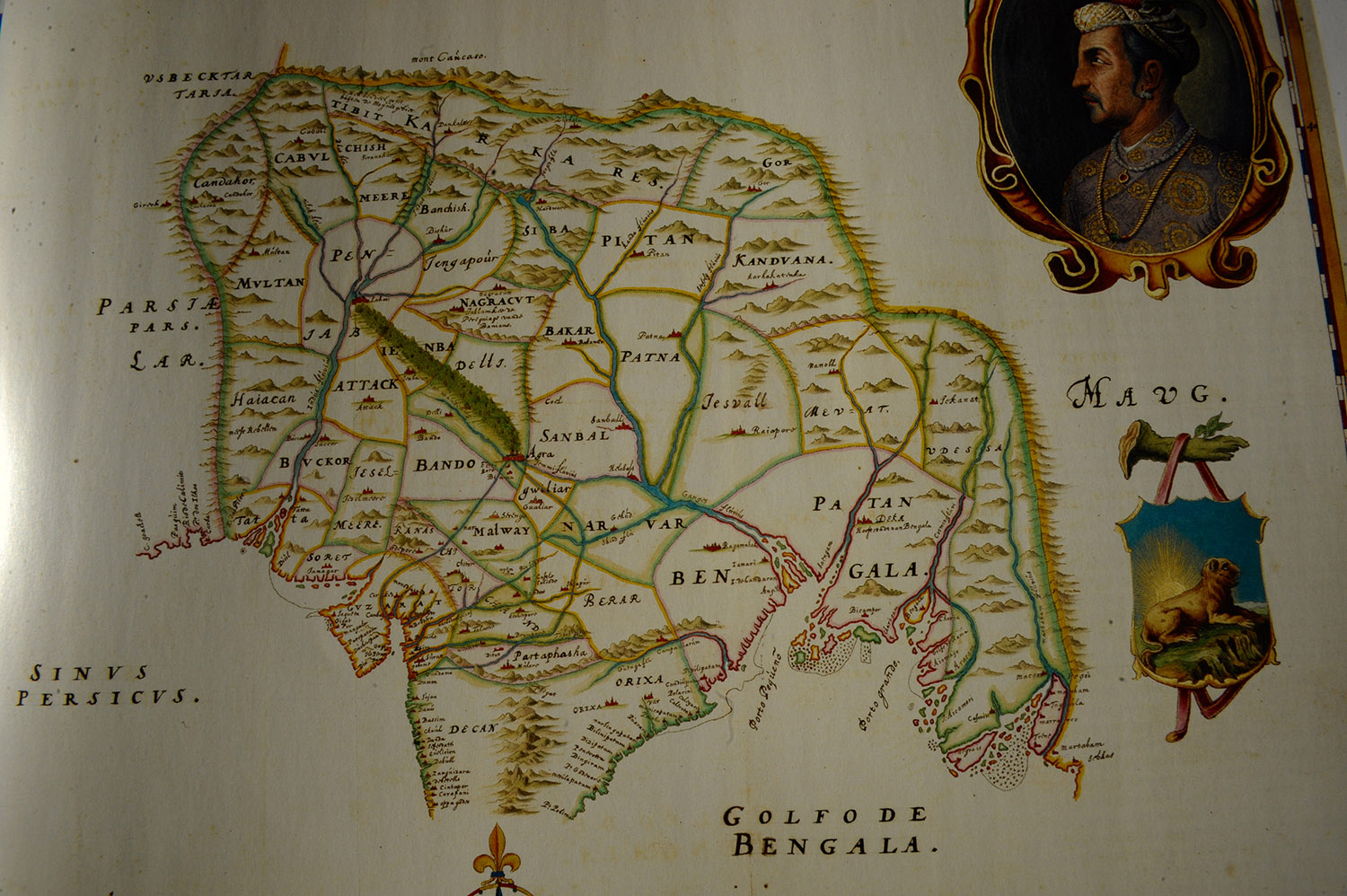
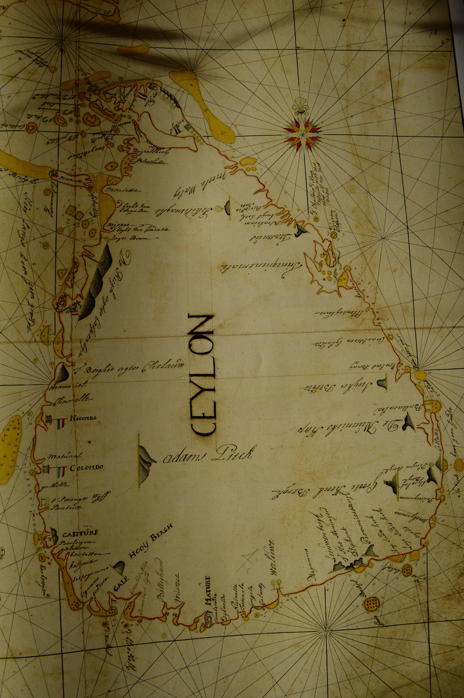
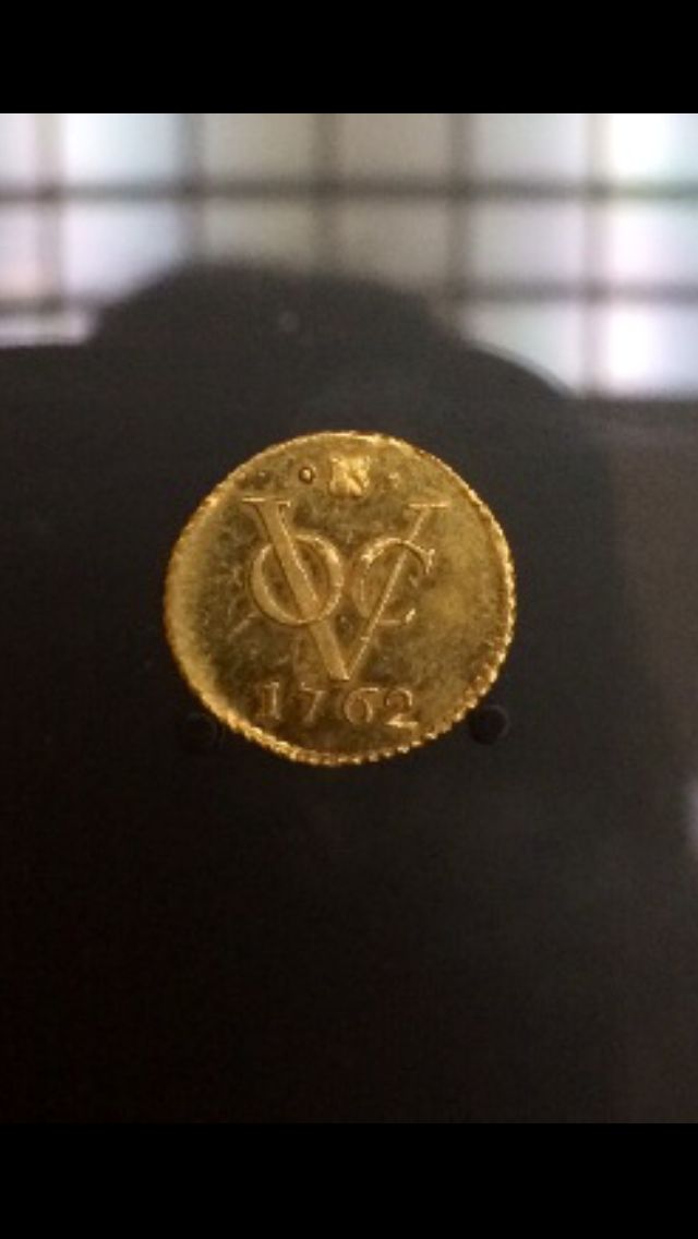
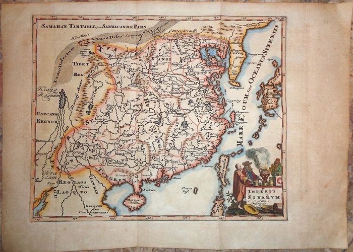
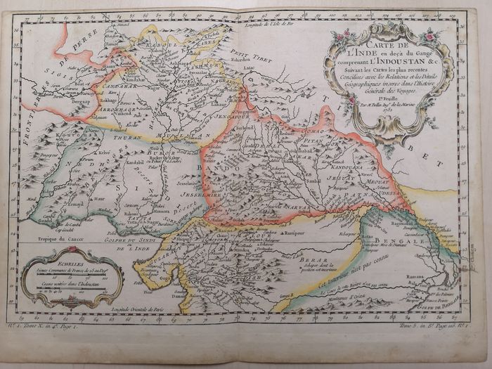
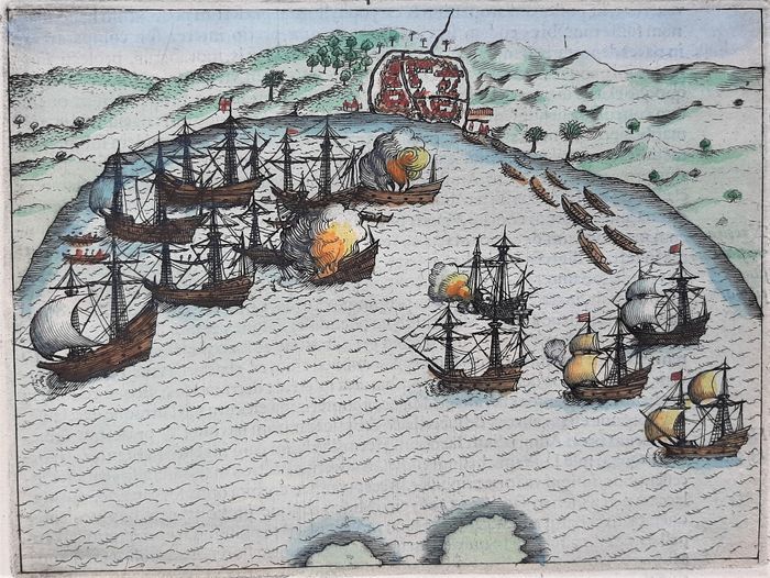
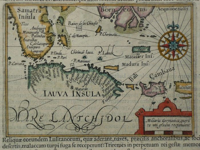
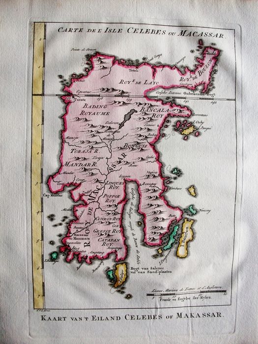
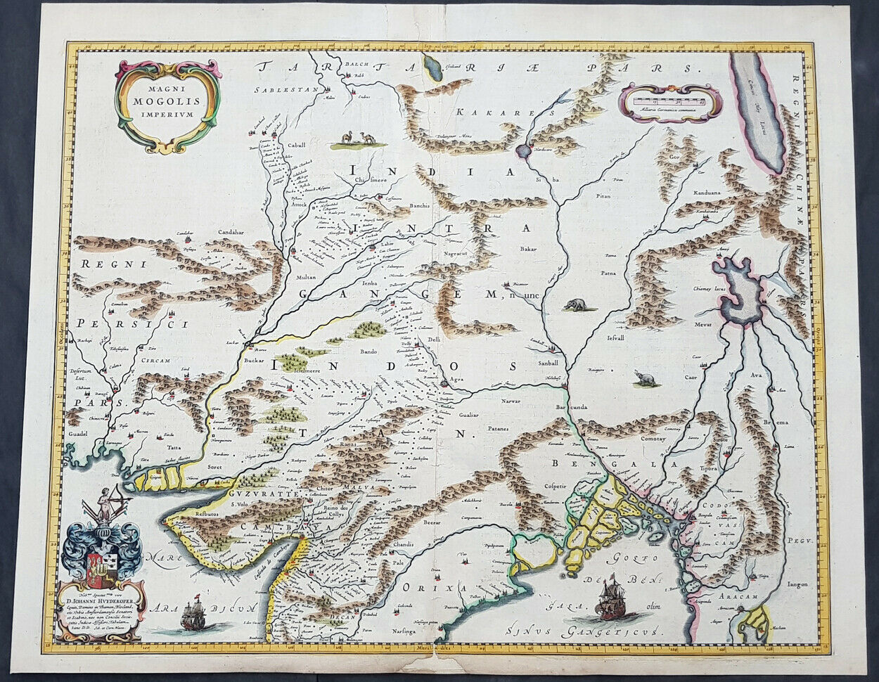
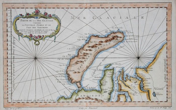
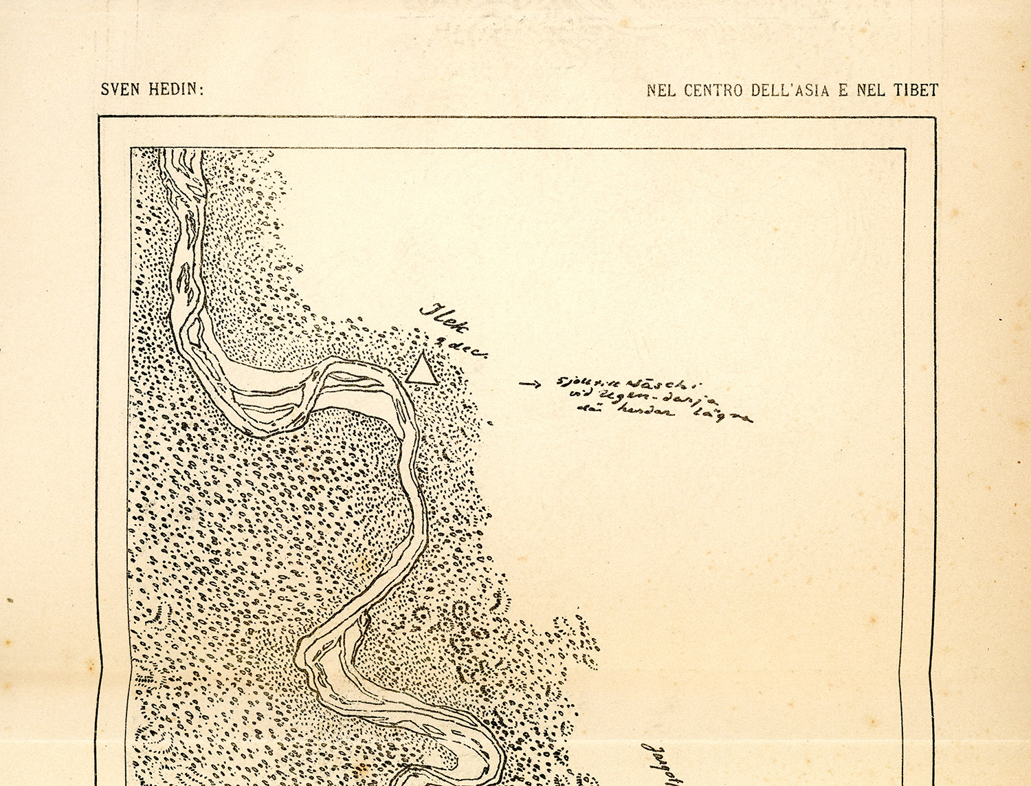
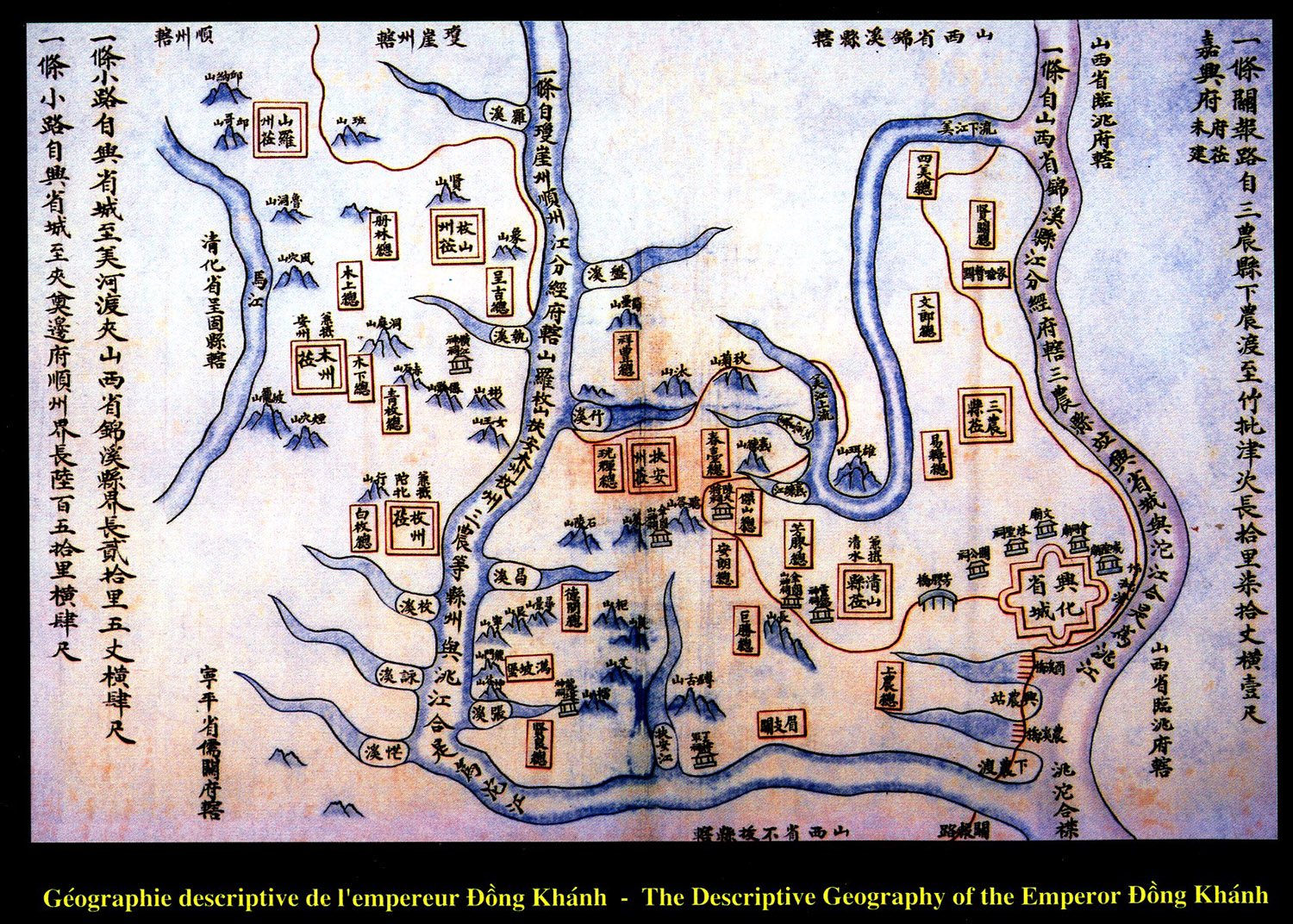
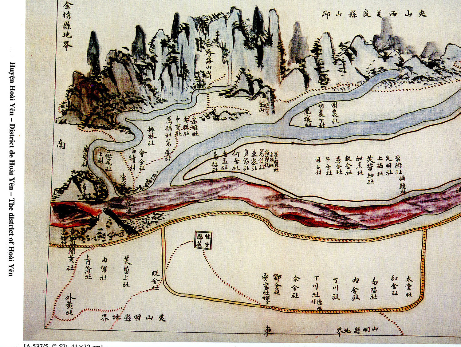
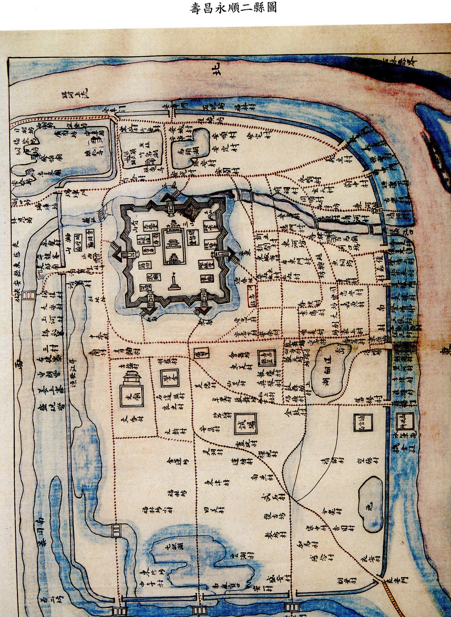
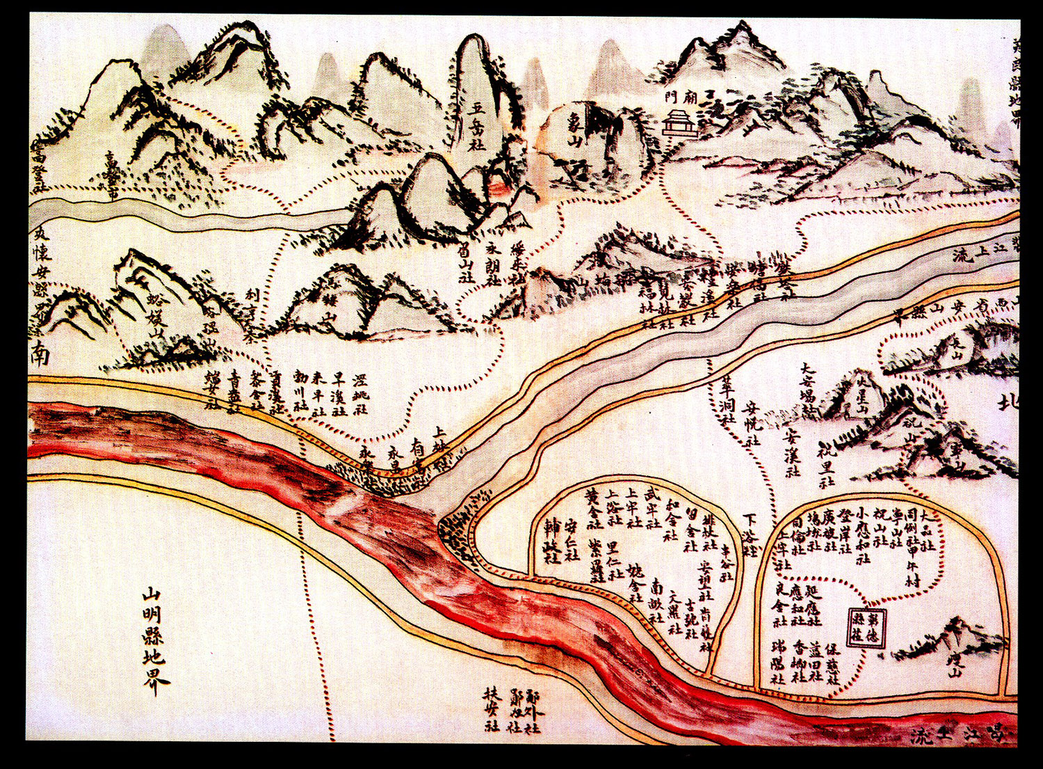
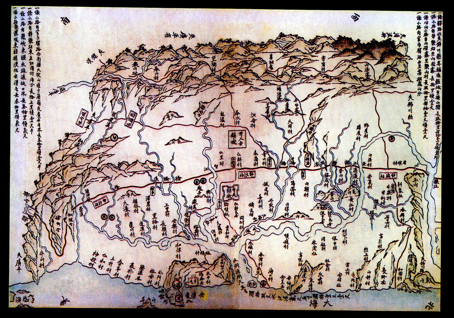
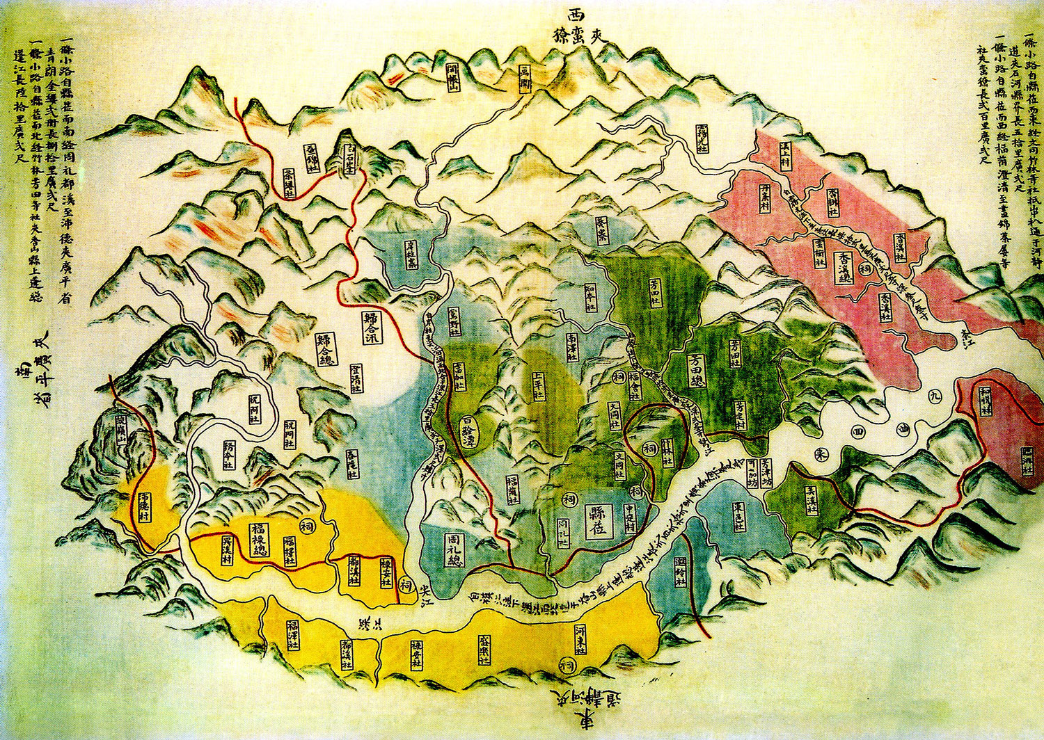
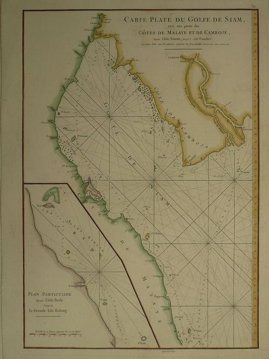
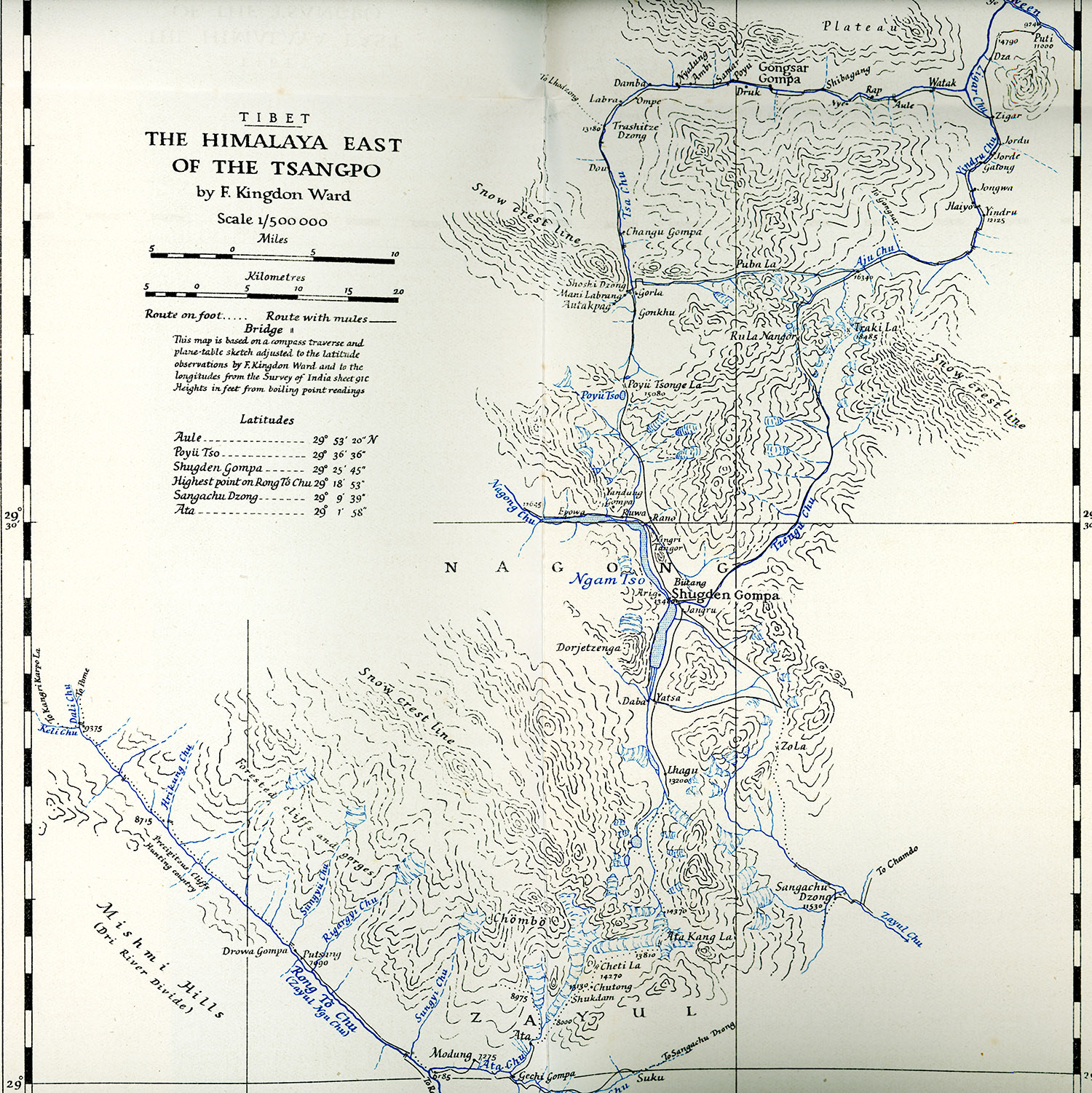
GEOGRAPHICAL MAPS

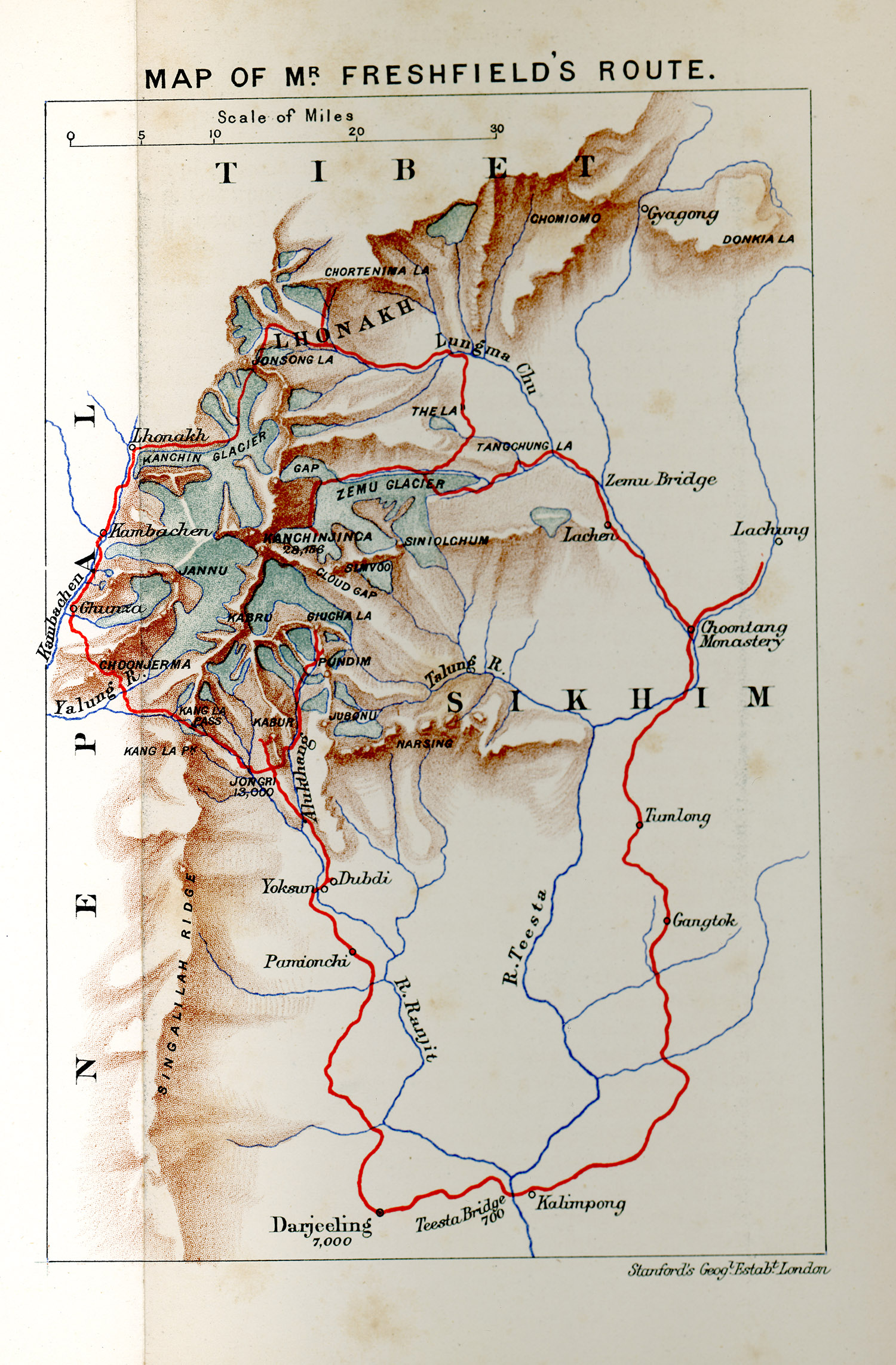
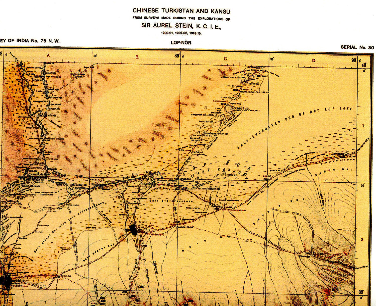
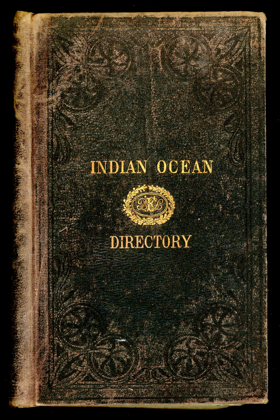
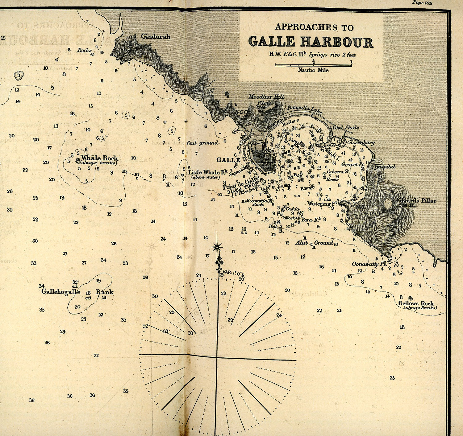
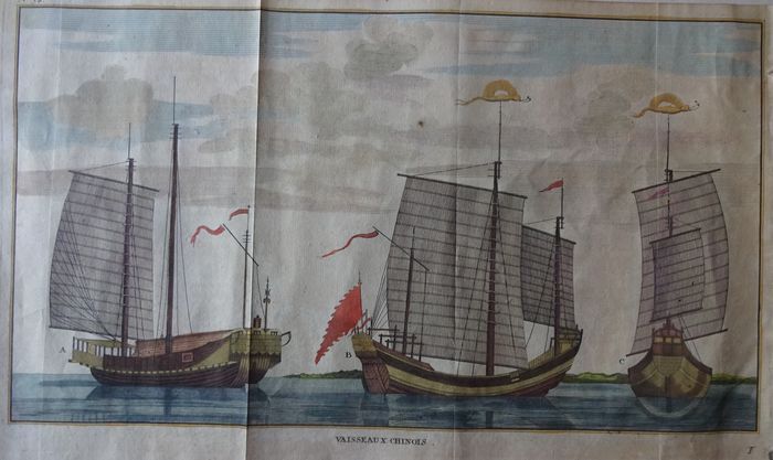
A series of precious maps linked to the age of exploration, some extremely rare, each bearing its own story of travels during which have been drafted. Many drawn up by explorers like Sven Hedin, Sir Aurel Stein,Kingdon Ward, Littledale among others, and some from East India Company and Dutch East India Company, both trading since 1700 with several continental and subcontinental asian countries, bordering with seas moreover sailed by pirate vessels. This cartography is mostly combined with original texts of the explorations towards Asia and Africa.An adventurous saga of some connections between eastern and western civilizations in the years of the colonial expansion, aimed to the dominance of markets, populations and related commodities.The exhibit is accompanied by ancient potteries rescued by vessels and junks drowned into the Indian ocean and the south China sea. A presentation which follows the visitor into a special world where understanding the great effort of people who first enjoyed the discovery of the earlier civilizations

Map of India from Histoire Generale des Voyages with Indian gold jewellery '' naths'' and rajasthani hearrings. Original Editions of Livingstone and Stanley Explorations.2 nd Half of XIX Cent.Historical volumes of Histoire des Voyages and Volume owned and signed  by Tiziano Terzani titled  The Overland to China. Volumes of Geographie Universelle of Elysèe Reclus.Map of the Island of Ceylon. 1721-1750Map of Assam and Boutan 1827Map of part of Batavia 1701 Map of Burma on 1561 by Girolamo Ruscelli.Map of South India and Calicut on 1596Map of Malawi and Mozambique called Monomotapa  around Year 1700.The battle of leghorn of  March 14,1653 to keep in evidence the kind of ships used by Dutch and English Fleets.Photograph by Carlo Sacco.Rijkmuseum-AmsterdamThe island of Madura seen from North Side of east Coast of Java looking South. Anonymous 1725.Map of  Batavia-Island of Java. 1629Arabic Sea and east coast of Africa and Madagascar.The City of Iapara. 1614Volcano of Banjuwangi betwen Java and Bali. First Hhalf  of XIX Cent.1805A drawing of Probolingo with its volcanos.East Jawa 1805Bromo complex-East Java  in a drawing of end of XIX Cent.1805Map of part of Dutch East India Company with China Java,Borneo,Makassar,
Philippines and South China sea. XVIII century.Arabian Peninsula and Egypt Red Sea and Persian Gulf XIX th Century. 1665Map of part of India and Gulf of Bengala dated 1616 caMap of Ceylon 1748Photograh of Dutch United East India Company Gold Coin.Reijksmuseum Amsterdam.The Water Palace on Lake Pichola,Udaipur,India Photographed by Colin Murray 1872-  1873.Map of Chinese Empire 1729Map of India out of Ganges.1751Map of Goa. 1611Map of Java and Sumatra 1601Map of Sulawesi or Makassar 1750Map of Mogul Empire Circa 1600Map of New Zemlja .Bellin 1758Sven Hedin's Map of Tarim River. Circa 1904Map of  Route of Freshfield to Kanchenjunga near DarjeelingMap of Chinese Turkestan and Kansu  by Exploration of Sir Aurel Stein 1900-1901,1906-1908,1913-1915. Lop Nor Area.Indian Ocean Directory. Complete description of all Coasts and Harbours of Indian Ocean.1882Map of Galle Harbour in Ceylon. By Indian Ocean DirectoryMap of the Prefecture of Gia-Hung,Province of Hung Hoa,under Emperor Dong Khanh. 2nd half of  XIX Century.Nowdays Vietnam.The District of Hoai-Yen under Emperor Dong-Khanh. 2nd half of XIX Century.Nowdays Vietnam.The Districts of Tho-Uong and Vinh Thuan under Emperor Dong KhanhThe District of Chuong Duc under Emperor Dong KhanhThe District of Ky Anh country of Ha Tinh under Emperor Dong-KhanThe District of Huang Ke Province of Nghe An under Emperor Dong KhanhMap of the Gulf of Siam with Malaya and Cambodia.1760The Himalaya East of Tsang Po by Kingdon Ward 1924Chinese Junks. 2nd Half of XIX Century.
ENGLISH - ITALIAN